
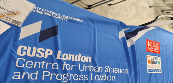
UBDC Data Dive

.svg)
.svg)

This year’s theme—urban sustainability—was particularly exciting for me, as it's an area I'm deeply passionate about. The Data Dive offered the perfect platform to further understand how urban data can be applied to address key sustainability issues in cities today.
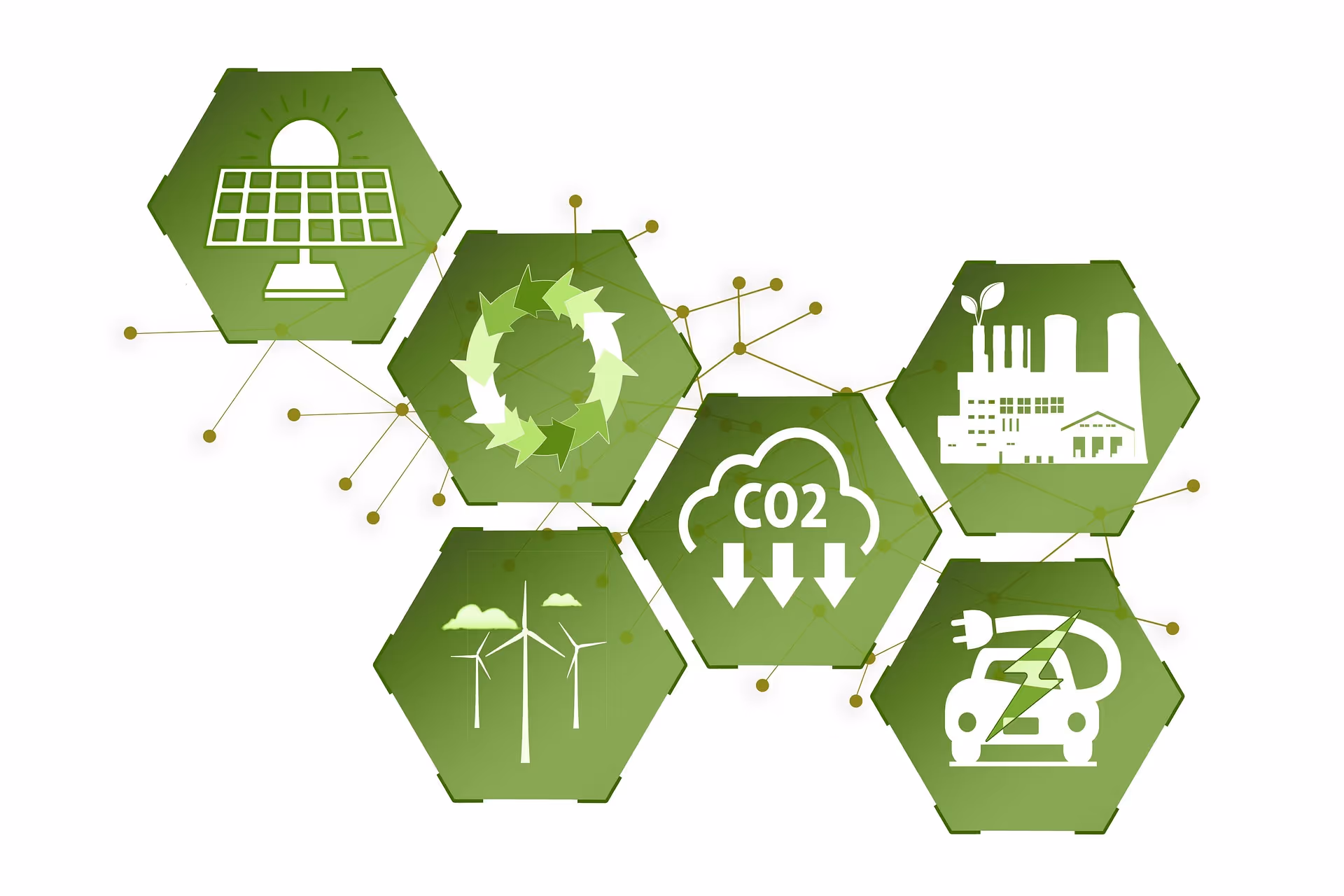
Students were allocated into one of the five following research groups:
- Are buildings’ energy efficiency performance affected by certain features, or any other exogenous environmental factors?
- Are urban parks or trees really playing a role promoting citizens' health, either physical health or mental health?
- How do climate risks (e.g., flood, heatwave) affect urban liveability? Could greenspace (e.g., parks) or trees help?
- How can urban transportation modes better support sustainable economy development in metropolitan cities?
- How does the urban waste management contribute to cities' sustainability goals towards 2030 and 2050?
Each group was tasked to find publicly available data, conduct analysis, and present their findings to the rest of the participants. I was assigned to the group exploring to what extent urban parks and trees promote citizen health, a topic that aligns closely with my academic interests. The presentations at the end offered a chance to learn from the work being done by the other groups.
Experience:
The entire event was extremely well-organised. The CUSP coordinators were incredibly supportive, providing clear instructions and guidance throughout the program. There was also no shortage of snacks—pastries and pizza kept us well-fuelled!
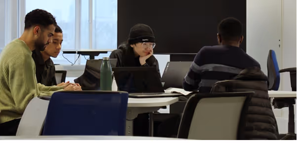
After settling into our groups, we had the chance to mingle with fellow students from around the world. I worked with students from Kenya, China, and Indonesia! It was a great experience to learn about the diverse perspectives on urban sustainability. From our conversations, I learnt a lot about how different cities were addressing sustainability issues in their respective cities.
We were also treated to talks from guest speakers by professionals from King’s Business School, The Crown Estate, and GEOLYTIX, who shared how they use data to investigate solutions to urban sustainability challenges. Their presentations were thoroughly insightful and provided valuable insight into the opportunities and applications of urban data science.
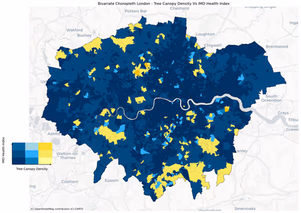
Once our research got underway, my group began investigating the relationship between urban green spaces and mental health in London. We accessed open datasets that included information on tree distribution, mental health indicators, demographics, and income at the LSOA level.
We were able to leverage this dataset to perform regression analysis on the distribution of trees against mental health scores, whilst controlling for various socio-economic factors. Moreover, we used Python to perform spatial analyses to observe how tree density and mental health varied for each LSOA in London. We found that there was a significant relationship between tree canopy cover and mental health within London. This relationship was strongest for areas farthest away from central London, and these neighbourhoods tend to be in close proximity to each other, showing a significant amount of spatial-autocorrelation– as shown in the choropleth map below:
Throughout the hackathon, we received fantastic mentorship from Yijing and the wider CUSP team. They offered insightful advice and enhanced our skills in spatial data analysis. Talking with experts in the urban data science field expanded our horizons and helped us to gain a deep understanding of how data can be used to enhance our knowledge of urban sustainability.
At the end of an eventful week, we all shared our findings to other groups from New York to Peking. It was eye-opening to see the variety of approaches used to tackle sustainability - from complex machine-learning models predicting urban energy usage to creating 3D maps of cities.
Each group were able to convey their ideas in a very compelling manner, which was impressive given the amount of time we had. In the end, a group exploring fuel poverty in London won the overall prize with their fascinating insight and carefully considered model – congratulations to them!
Outputs:
Participating in the CUSP Data Dive was a fantastic opportunity to grow both personally and academically. With expert guidance, I developed new technical skills, such as creating spatial plots in Python—skills I’m now applying to my academic work.
I left the event with a deeper understanding of how research and data can be harnessed to explore innovative solutions to urban sustainability.
Beyond academic skills, I was able to make new friends and network with fellow students, academics, and industry experts. Learning from each other in a collaborative atmosphere made the experience truly rewarding.
I believe I can speak for most participants and say that we came away from the experience even more motivated to seek a career that understands the importance of data-driven solutions to building more sustainable urban environments.
Next year, the Data Dive theme is on Urban resilience. I’m confident it will be another amazing opportunity for students to come together, share knowledge, and explore how data can help cities adapt and thrive in the face of future challenges.
Files
Latest news

Our co-created mapping guide featured as a guiding principle for responsible AI integration
A community-led mapping methodology co-developed by the University of Glasgow and partners has been recognised in a flagship international AI report, demonstrating how responsible AI can strengthen participatory approaches to multi-hazard early warning systems.
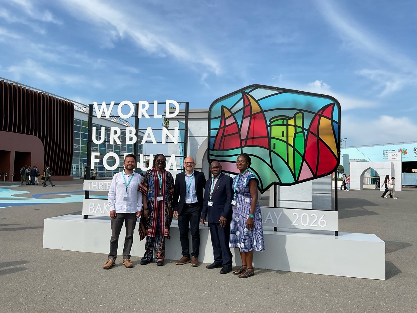
UBDC presents at the World Urban Forum 2026
The Urban Big Data Centre and Partners had a remarkable participation at the latest Would Urban Forum (WUF) in Baku, Azerbaijan. Within the topic “Housing the world: Safe and resilient cities and communities”.
New energy efficiency framework to address global net-zero carbon agenda
A new way of classifying energy efficiency that could benefit households and address the global net-zero carbon agenda has been developed by the Universities of Glasgow and Cambridge.
Jointly funded by
