
UBDC attends the 3rd Digital Footprints Conference in Leeds

.svg)
.svg)

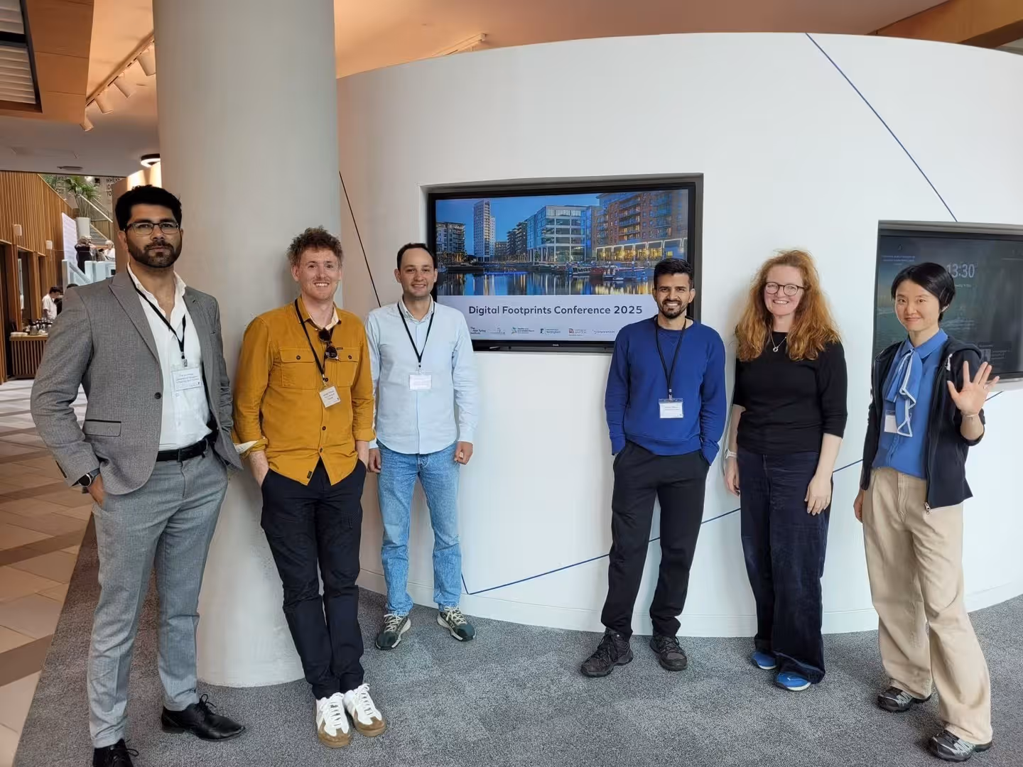
A group of UBDC and Urban Analytics professionals recently participated in the 3rd Digital Footprints conference in Leeds, this year focused on Digital Footprints for the Public Good. The event gathered around 100 multidisciplinary researchers, industry professionals, and government representatives. The conference explored the exciting potential of novel data sources to drive impactful research for social good.
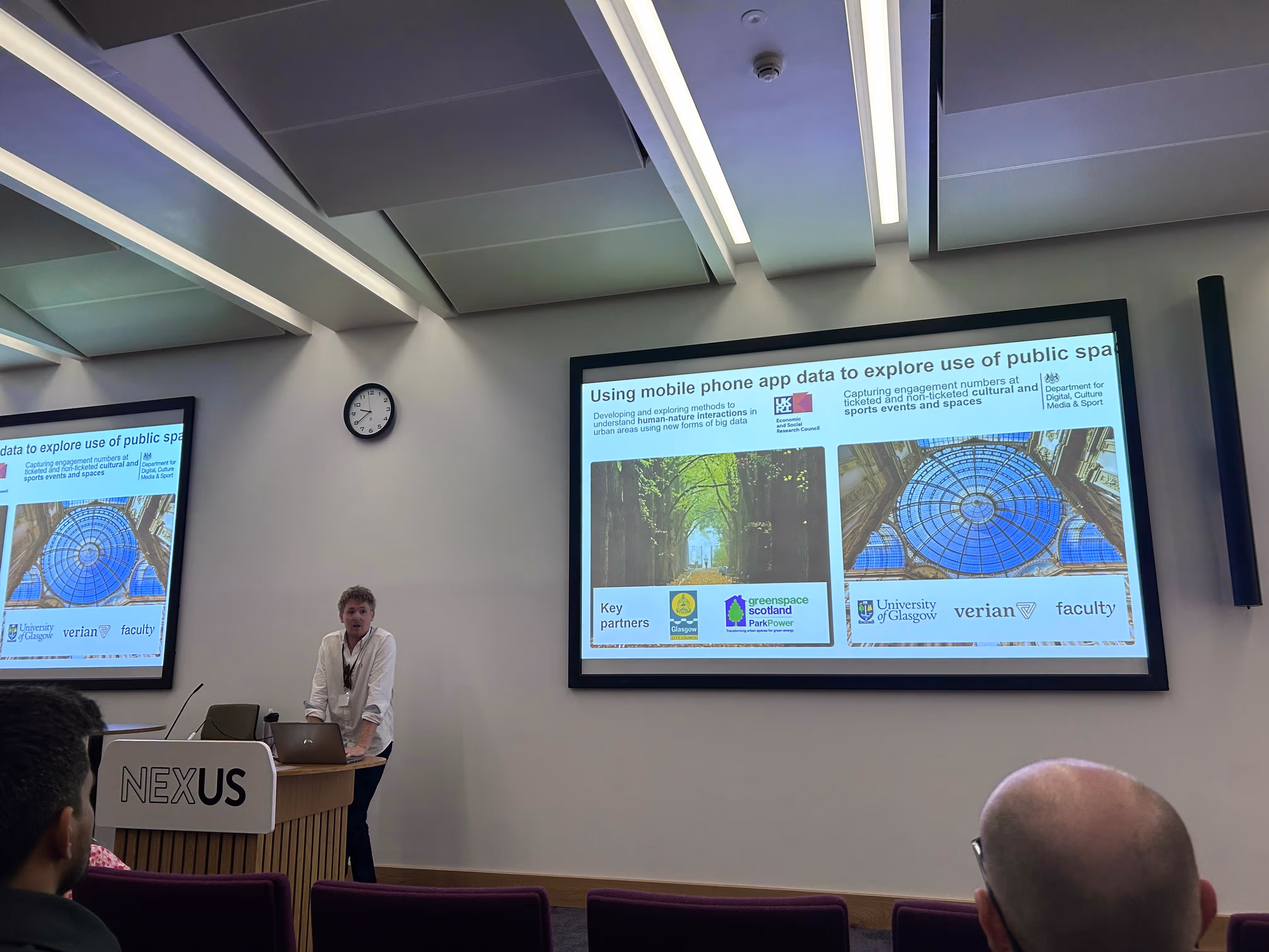
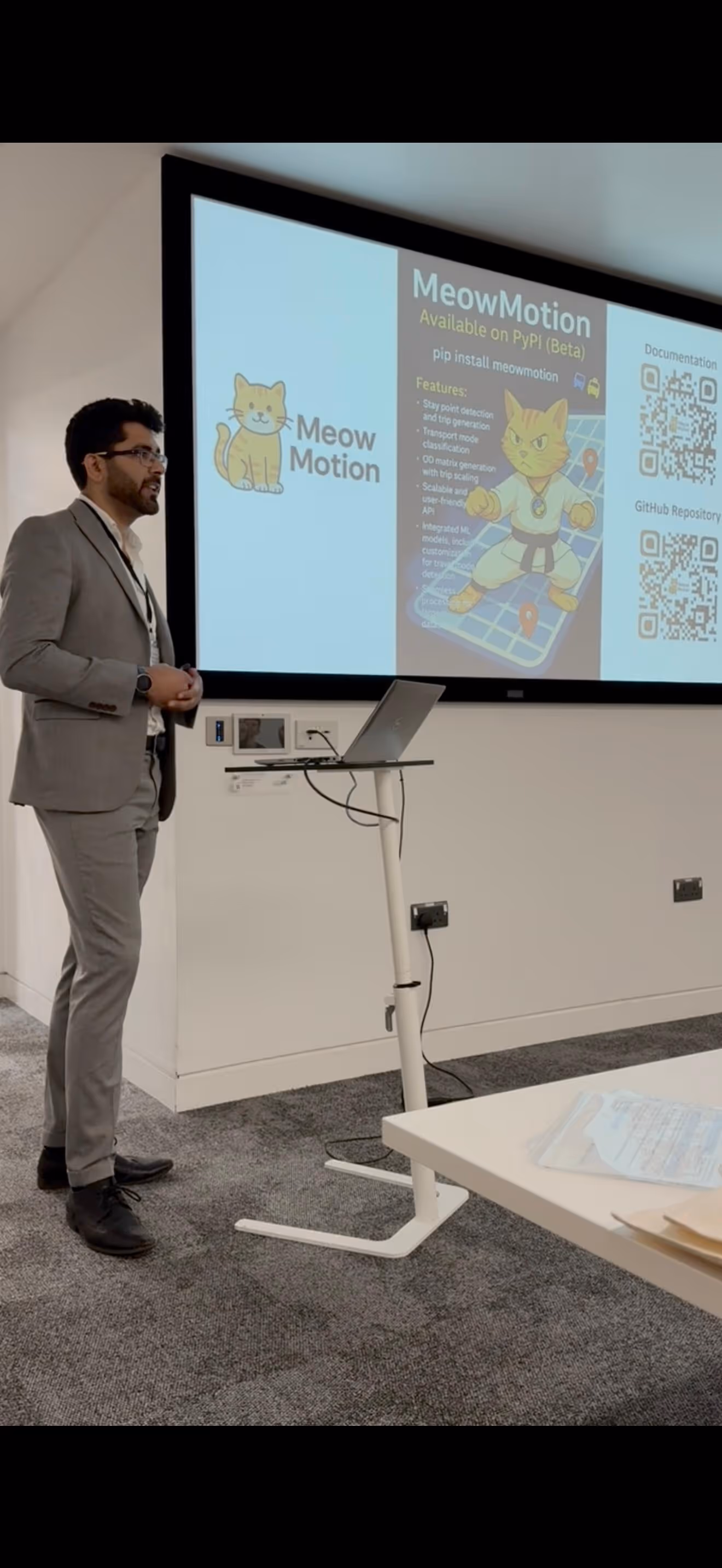
Bringing together a diverse audience from academia, policy, government, and industry, the conference showcased groundbreaking research in the field of digital footprints. Dr. Michael Sinclair, Lecturer in Urban Analytics at the Urban Big Data Centre, had the opportunity to deliver his first keynote talk, discussing the opportunities and challenges of using mobile phone app data for social science research.
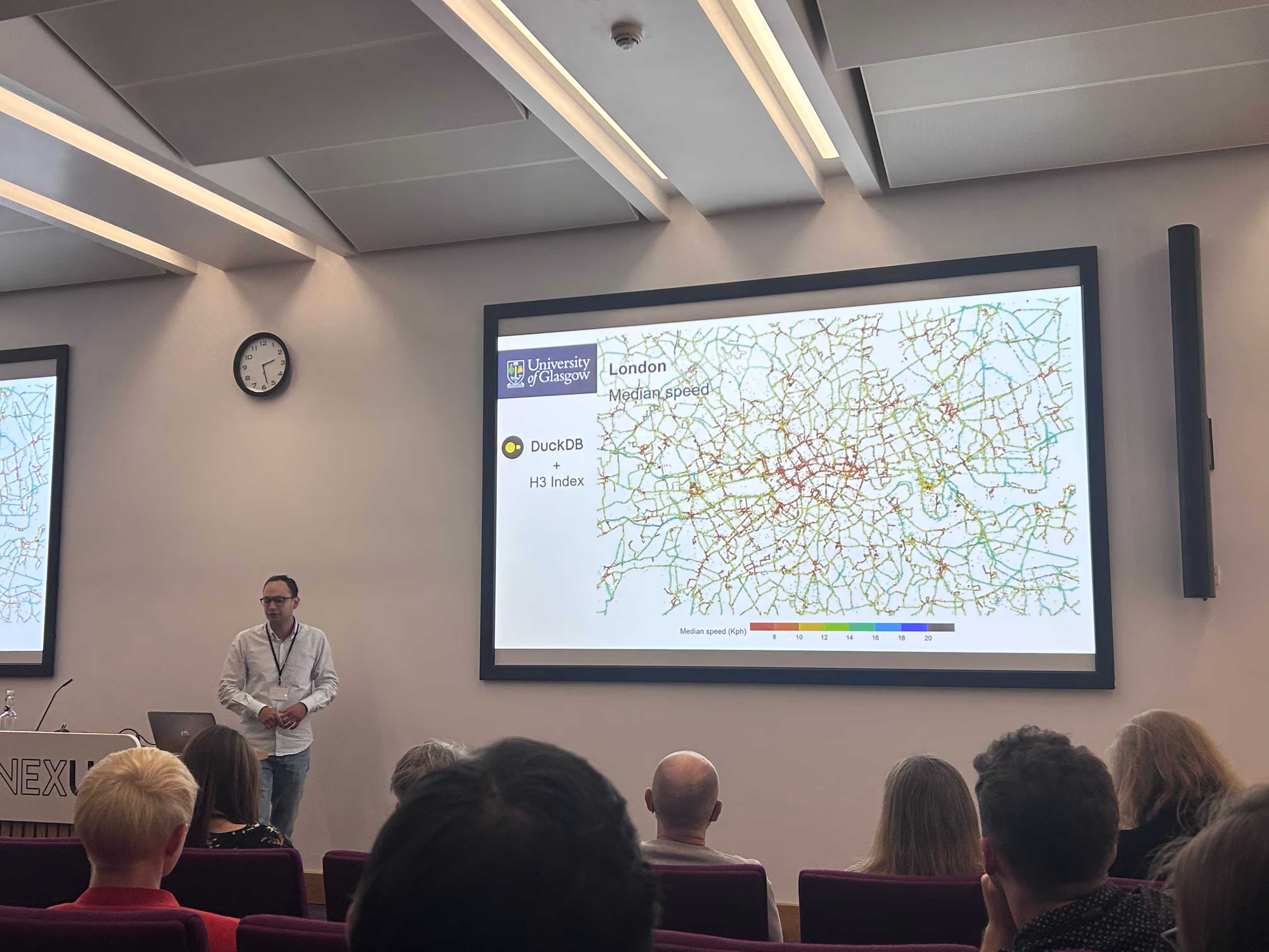
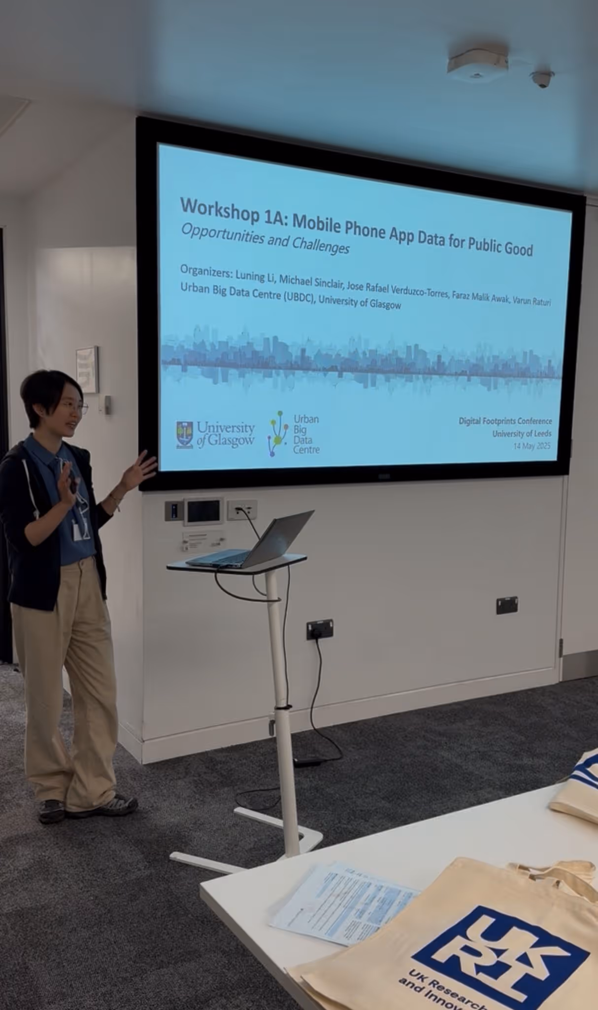
Other highlights included Dr. Rafael Verduzco's talk on national GPS bus data as a new form of open data, and a workshop led by Dr. Luning Li, Research Associate in Urban Analytics at UBDC, which was supported by Michael Sinclair, Jose Rafael Verduzco-Torres, Faraz Malik Awan and Varun Raturi, Mobile Phone App Data for Public Good: Opportunities and Challenges, which brought together 30 researchers and industry participants to brainstorm how this data can address pressing societal challenges.
It was a fantastic event that not only highlighted the transformative potential of data but also reinforced the importance of collaboration in using data for public good.
Files
Latest news

Our co-created mapping guide featured as a guiding principle for responsible AI integration
A community-led mapping methodology co-developed by the University of Glasgow and partners has been recognised in a flagship international AI report, demonstrating how responsible AI can strengthen participatory approaches to multi-hazard early warning systems.
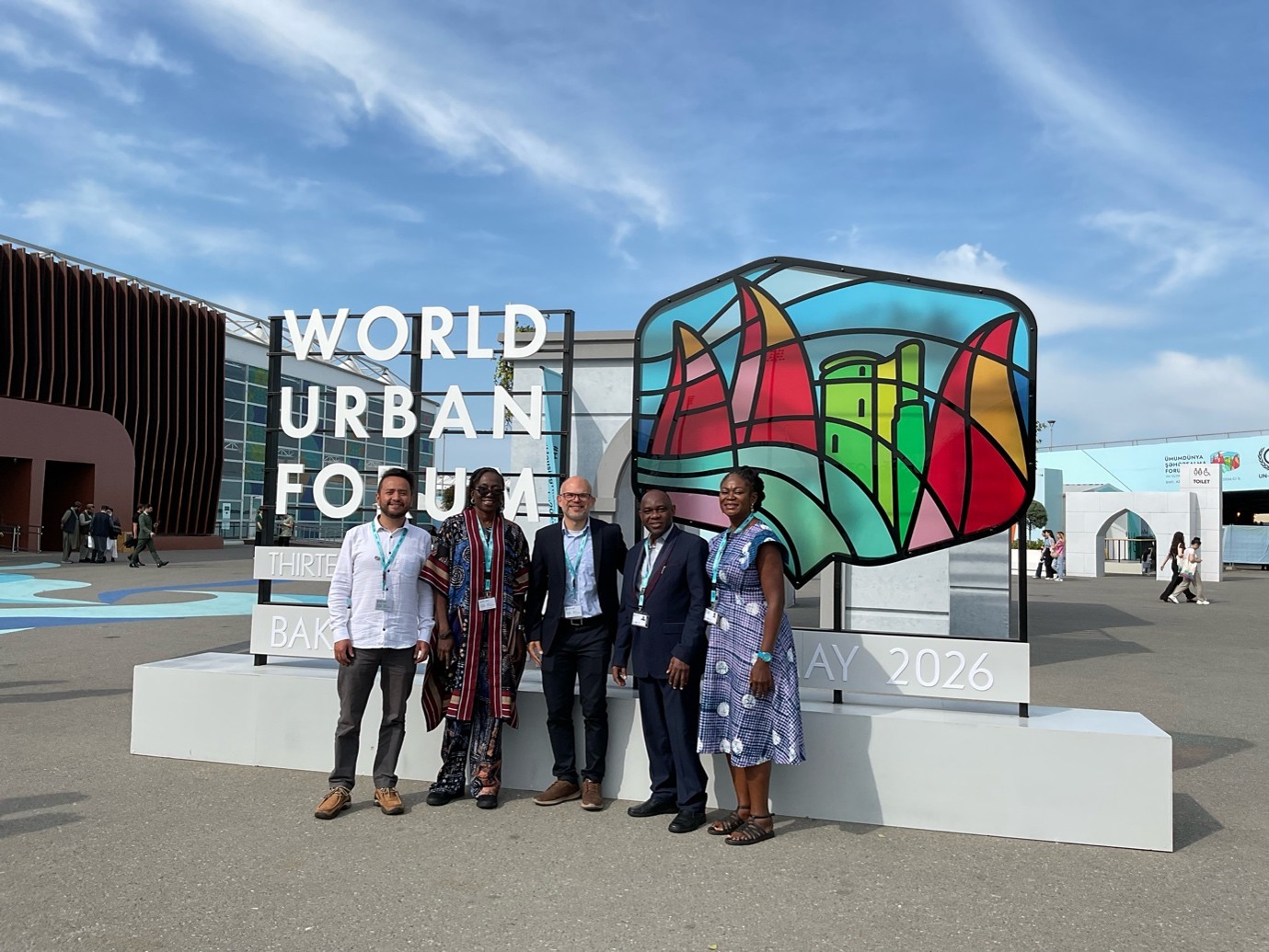
UBDC presents at the World Urban Forum 2026
The Urban Big Data Centre and Partners had a remarkable participation at the latest Would Urban Forum (WUF) in Baku, Azerbaijan. Within the topic “Housing the world: Safe and resilient cities and communities”.
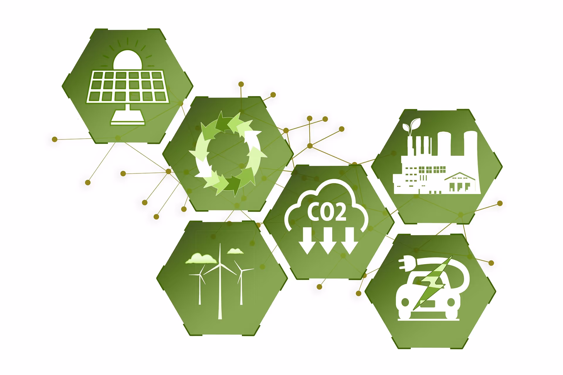
New energy efficiency framework to address global net-zero carbon agenda
A new way of classifying energy efficiency that could benefit households and address the global net-zero carbon agenda has been developed by the Universities of Glasgow and Cambridge.
Jointly funded by
