
New high-resolution traffic flow dataset from UBDC

.svg)
.svg)

Traffic flow data has a wide variety of research applications, but the quality of existing datasets is often inconsistent due to the differing ways the data has been collected and cleaned.
A new paper from UBDC - High-resolution traffic flow data from the urban traffic control system in Glasgow co-authored by Yue Li, Mingshu Wang and Qunshan Zhao - introduces a long-term traffic flow dataset for a concise urban area combined with highly detailed space and time data.
The dataset – with 470 files containing hourly traffic flow data and a single file of geographical information for over 400 sensors - covers the Glasgow City Council area for four consecutive years spanning the COVID-19 pandemic, from October 2019 to September 2023.
Co-author, Qunshan Zhao, Senior Lecturer in Urban Analytics said: “The high-resolution traffic flow data from SCOOT (Split Cycle Offset Optimisation Technique) road sensors in Glasgow provides an excellent example of converting auto generated but messy raw traffic flow data into open and research ready data, with high spatial and temporal granularity.
“Similar traffic control systems or road sensors exist in many other cities but there are still very few equivalent datasets that have been cleaned and generated for public use. We would hope more cities can follow Glasgow City Council’s example and provide similar API access to these types of data to help better understand our living cities.
“Potential applications include traffic dynamic analysis and prediction, traffic management, infrastructure planning, and urban environment improvement. This data can also be used as a traffic flow validation source to cross-validate with other similar datasets.”
The raw traffic flow data were collected through Glasgow open data portal and refined by a two-fold filtration process based on spatial and temporal constraints. Then the remaining sensors were examined by the numerical filtering.
The cleaned traffic flow data were reconstructed and aggregated into hourly intervals. Such detailed information can be widely applied to a variety of research. Additionally, it helps us understand how traffic changed during a once-in-a-lifetime pandemic event.
Preprint paper: https://osf.io/preprints/osf/qgf2j
Data: https://zenodo.org/records/12100278
Code: https://github.com/YueLi-0816/TrafficFlowData?tab=readme-ov-file
Files
Latest news

Our co-created mapping guide featured as a guiding principle for responsible AI integration
A community-led mapping methodology co-developed by the University of Glasgow and partners has been recognised in a flagship international AI report, demonstrating how responsible AI can strengthen participatory approaches to multi-hazard early warning systems.
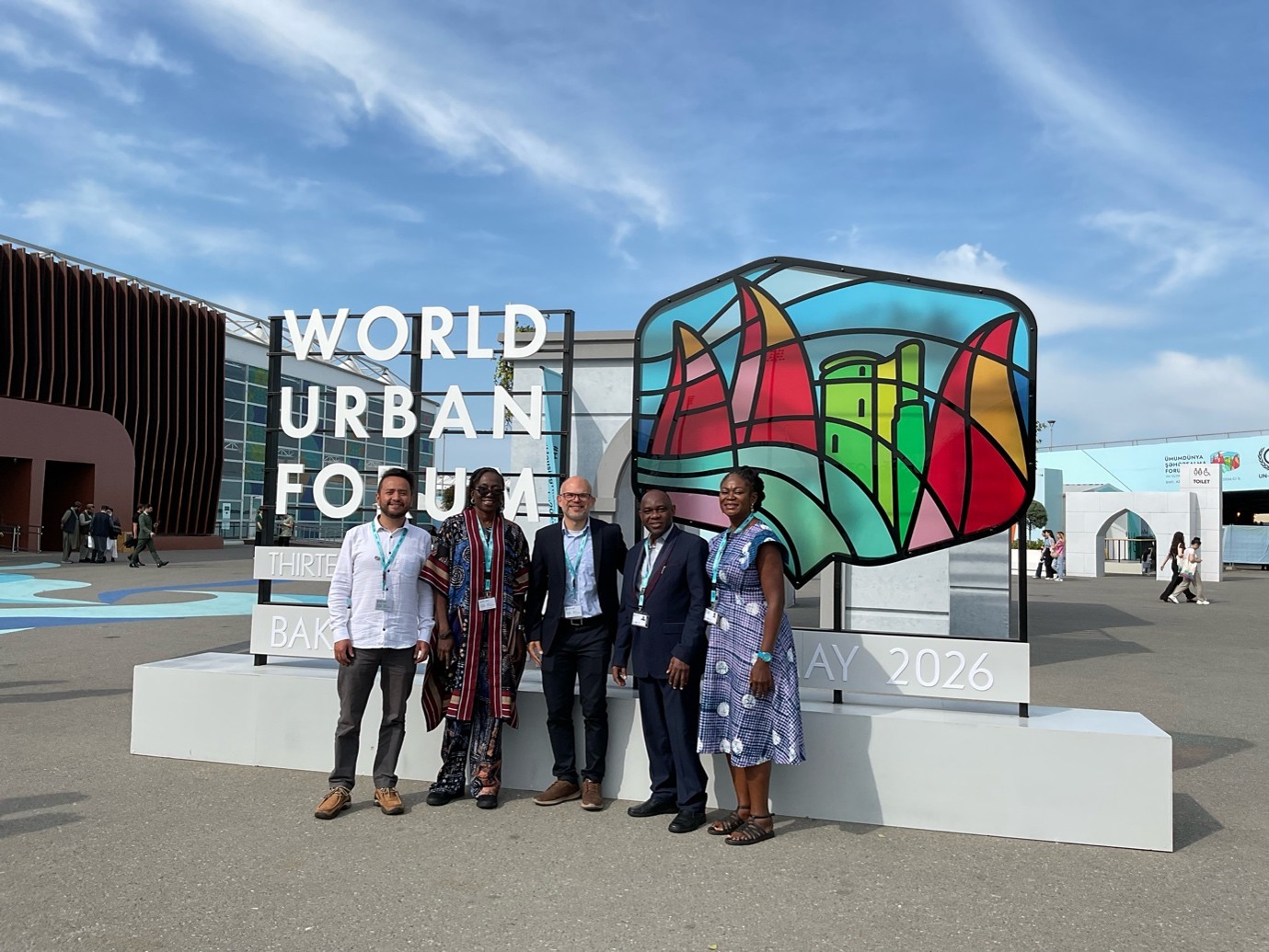
UBDC presents at the World Urban Forum 2026
The Urban Big Data Centre and Partners had a remarkable participation at the latest Would Urban Forum (WUF) in Baku, Azerbaijan. Within the topic “Housing the world: Safe and resilient cities and communities”.
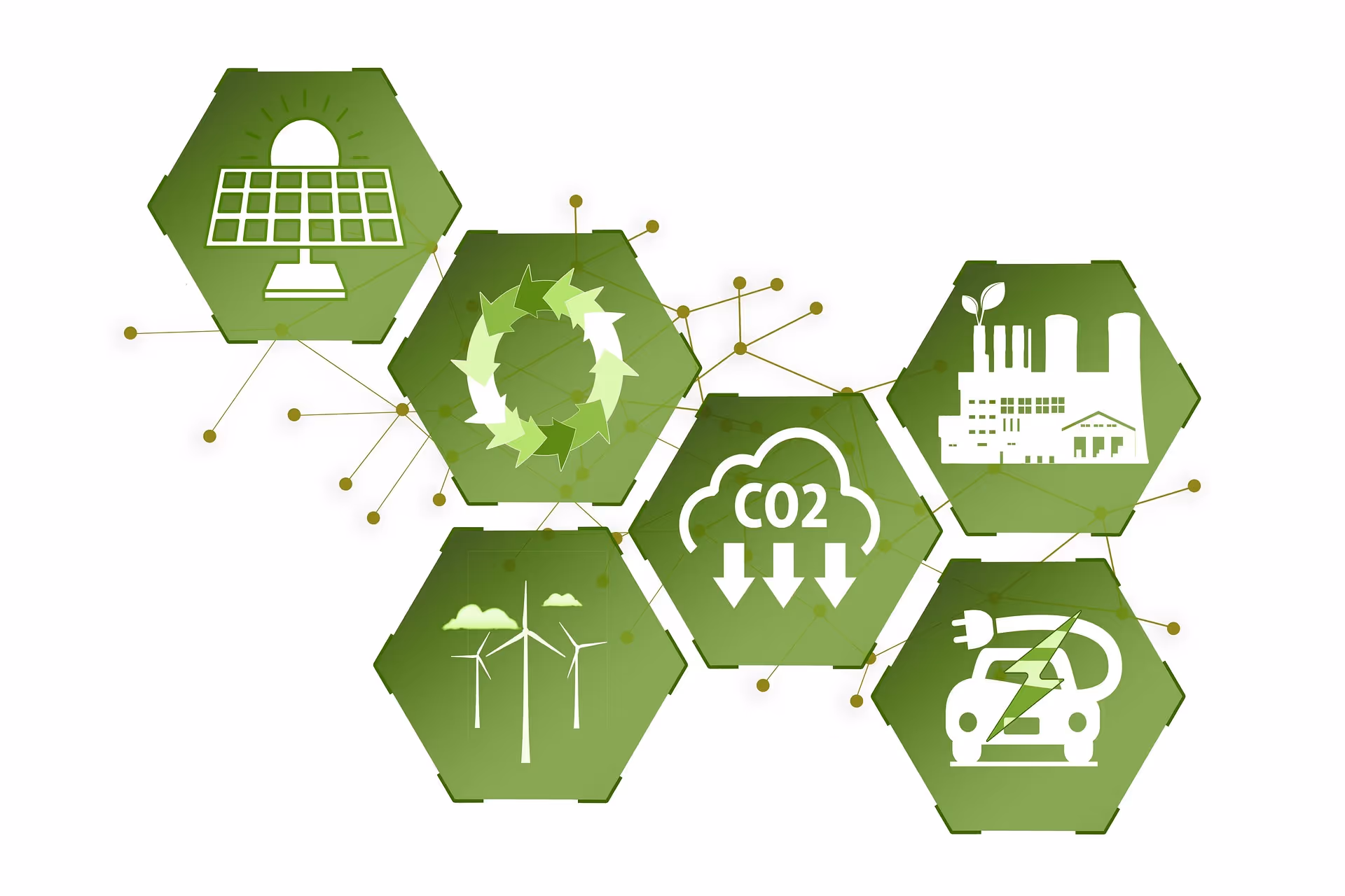
New energy efficiency framework to address global net-zero carbon agenda
A new way of classifying energy efficiency that could benefit households and address the global net-zero carbon agenda has been developed by the Universities of Glasgow and Cambridge.
Jointly funded by
