
IDEAMAPS participatory data-modelling project awarded funding


.svg)
.svg)

The Urban Big Data Centre (UBDC) is delighted to announce that the IDEAMAPS participatory data-modelling project has secured over $1.5m in funding from the Bill & Melinda Gates Foundation.
The IDEAMAPS project will co-design and develop a participatory data-modelling ecosystem to produce deprived area maps routinely and accurately at scale across cities in lower middle-income countries (LMIC) to support multiple local stakeholders in their decision-making.
IDEAMAPS will combine artificial intelligence (AI) analysis of earth observation data with community mapping and engagement to improve how we define and understand areas of deprivation ("slums") in cities. The project will integrate multiple public, official, and community-generated datasets to produce granular surface maps of deprived areas across individual cities.
Working with collaborators from the pilot cities in Nigeria (Lagos and Kano) and Kenya (Nairobi), the IDEAMAPS project will generate new data and enhance the capabilities of various stakeholders to understand and address urban poverty, health, and well-being. The result is that community members and decision-makers will have an improved, co-produced evidence base, as well as strengthened communication networks based on common understandings and trust. These outcomes will support pro-equity interventions to effectively address current issues on urban planning, slum upgrading and urban health.
UBDC Deputy Director and project lead, Professor João Porto de Albuquerque, commented:
“I am thrilled to have received the generous support of the Bill & Melinda Gates Foundation for our work with partners in the IDEAMAPS network as well as stakeholders and communities in Kenya and Nigeria.
“This project will enable us to make a step change in participatory urban analytics platforms and methods. By connecting cutting-edge analytics from satellite imagery - using AI - with community-based participatory research methods, we will be able to place disadvantaged communities at the driving seat of urban data innovations towards equitable and just transformations to sustainable development.”
The project features a multidisciplinary and international consortium with partners at the African Population and Health Research Centre (Kenya), University of Lagos (Nigeria), University of Twente/ITC Faculty (Netherlands), George Washington University (United States), University of York (UK) and University of Glasgow (UK).
Files
Latest news

Our co-created mapping guide featured as a guiding principle for responsible AI integration
A community-led mapping methodology co-developed by the University of Glasgow and partners has been recognised in a flagship international AI report, demonstrating how responsible AI can strengthen participatory approaches to multi-hazard early warning systems.
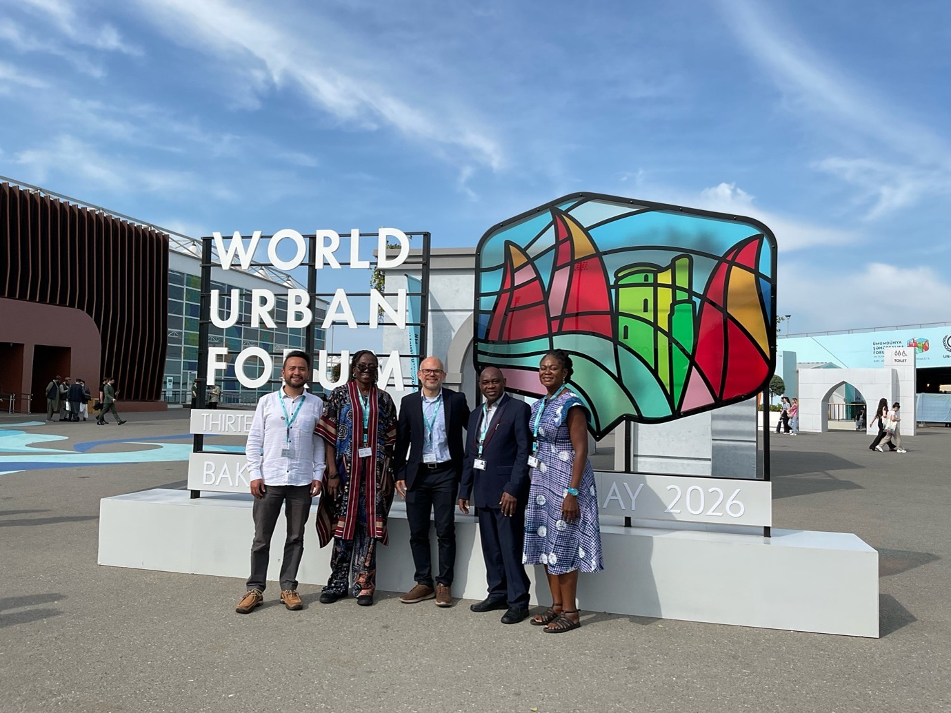
UBDC presents at the World Urban Forum 2026
The Urban Big Data Centre and Partners had a remarkable participation at the latest Would Urban Forum (WUF) in Baku, Azerbaijan. Within the topic “Housing the world: Safe and resilient cities and communities”.
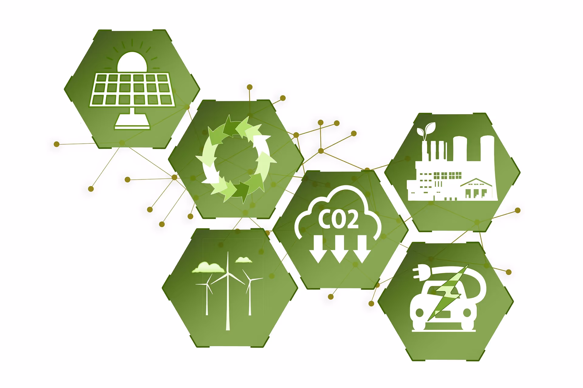
New energy efficiency framework to address global net-zero carbon agenda
A new way of classifying energy efficiency that could benefit households and address the global net-zero carbon agenda has been developed by the Universities of Glasgow and Cambridge.
Jointly funded by
